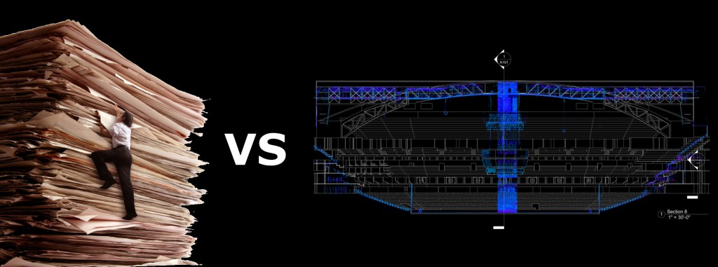
Larry Kleinkemper, AIA will be speaking at HxGN in Las Vegas on creating BIM models from plans vs scans.
“Your ammunition for staying alive in business is designed to arm you with information to help win over potential clients. We discuss common misconceptions that can pose barriers to getting work and how to get through them. We also explore different client types and their needs. We then cover basic bidding tools to help you with pricing. The goal is to increase your ability to bring in new projects.”

This presentation is designed to arm you with information based on actual Revit modeling projects that we have executed both ways – based on laser scanning and based on drawing conversions – to help win over potential clients who are considering creating Revit models from existing drawings.
Day and Time: Wed 4 June 3:30 PM
Session ID: 9158
Session Title: Insights into Why Creating Intelligent Revit/BIM Models via Laser Scanning Costs Less
Abstract: Texas-based Lanmar Services is small, growing company that provides services for creating intelligent BIM/Revit models, especially from laser scan data. A large portion of our projects have involved processing registered scan data sets from Leica Geosystems laser scanners and Cyclone REGISTER software. We have also created intelligent Revit models from existing 2D CAD drawings, supplemented by site visits. This presentation is designed to arm you with information based on actual Revit modeling projects that we have executed both ways – based on laser scanning and based on drawing conversions – to help win over potential clients who are considering creating Revit models from existing drawings. We will discuss common client misconceptions about laser scanning and about drawing conversions that can pose barriers to getting work and how to get through them. We also explore different client types and their needs. Finally, we will cover basic bidding tools to help you with pricing for these types of scanning and Revit modeling projects. The goal is to increase your ability to bring in new projects.
Track: Geosystems
Sub-Track: High-Definition Surveying/3D Laser Scanning
Focus Area: HDS-Buildings/BIM
Discipline: HDS-Buildings/BIM
Length: 30 Minutes
